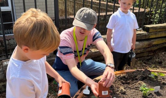
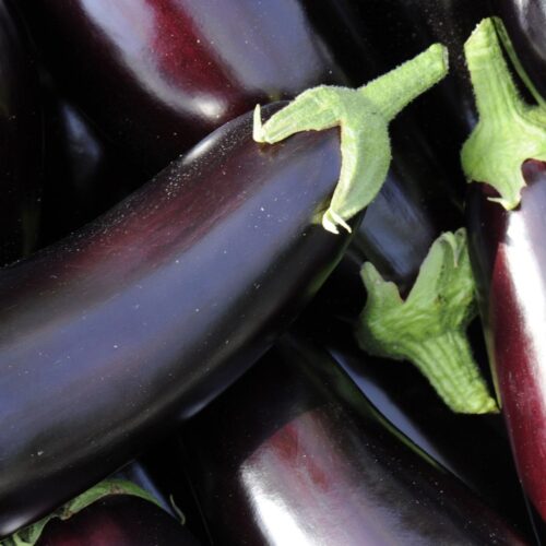


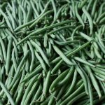
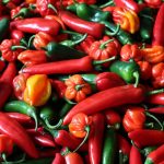

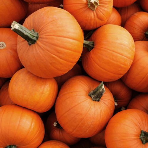


How we are using new satellite technology to farm better
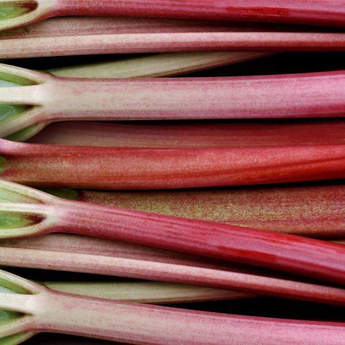
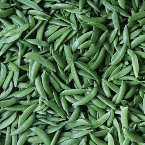
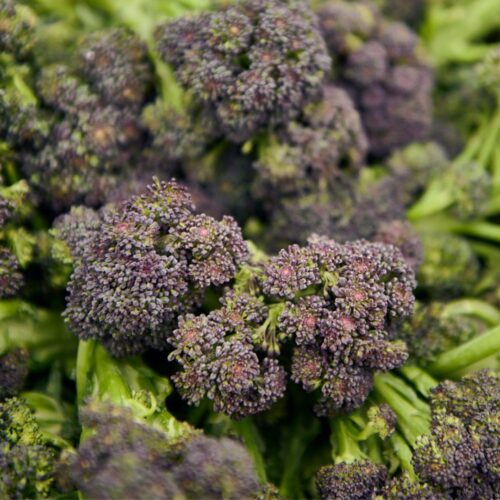
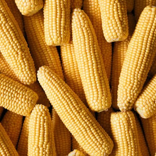
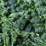
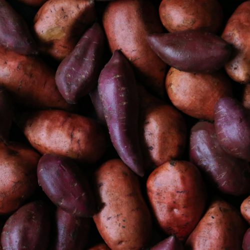
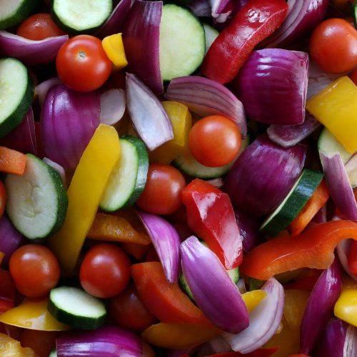
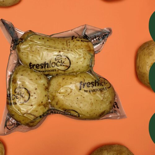
We farm land all over the world and it is important that we carefully monitor every single acre. To help us do this, we are using groundbreaking satellite technology.
The new Sentinel-2 satellites are part the world’s most sophisticated satellite observation fleet, which is managed under the Copernicus programme. This initiative is funded and operated by the European Space Agency and the European Commission.
Cameras on board the satellites map the earth in incredible detail and provide precise details of the areas in which we farm. They record highly detailed imagery of vegetation, soil and water cover, and inland waterways and coastal areas.
The technology can identify whether farmlands are lush or dry and if crop yields are rich or poor, and see how farming is impacting habitats. This insight helps us better manage our resources and growth, and more responsibly and carefully handle the lands we farm.